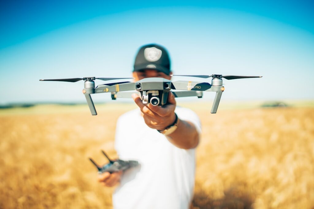

Drones don’t just snap pictures; they create 3D models that reveal the terrain’s contours in fine detail. This is particularly handy in industries like construction, mining, and farming. For example, construction supervisors rely on drone surveys to track progress on earthworks and spot discrepancies early. Having up-to-date aerial images means decisions about labor or equipment shifts happen based on real conditions, not guesswork.
One of the biggest advantages is speed. A drone can map several acres in a few hours, while ground crews might take days to cover the same area. You get near real-time access to data, which helps avoid delays. Real-time measurements also cut down human mistakes that happen when workers manually record data under pressure. It’s common for teams to cross-check drone data with ground truthing on-site to catch any anomalies early.
Operating drones isn’t just point-and-shoot. Accurate results depend on GPS integration and photogrammetry software. The drone takes overlapping photos from multiple angles; software then stitches these into accurate maps or 3D models. Surveyors often load these files into CAD or GIS tools for further analysis. A practical tip is to plan flights during stable weather and consistent lighting to reduce shadows and glare, which can distort data.
Besides mapping, drones handle inspections and aerial filming that add value to projects. Inspecting tall structures or hard-to-reach areas by drone avoids putting people at risk. For instance, checking a crane’s integrity or spotting erosion on slopes becomes safer and quicker. Aerial cinematography also helps marketing teams capture impressive visuals without interrupting site operations or forcing crews into unsafe spots.
Because drones don’t require the same regulatory clearances as manned flights or large machinery, you save time and money on compliance efforts. Providers often customize drone setups according to project needs, whether it’s adjusting sensors or flight paths. They work closely with clients to understand site challenges, ensuring the UAVs deliver usable data without extra hassle.
If you want reliable drone services tailored to your work, look into providers near you. Technological advances have made equipment more affordable and user-friendly than before. Integrating drones into your workflow can improve accuracy, speed, and safety at once. To get started, check out drone land surveying.
Keeping up with UAV trends helps you spot new ways to use this tech effectively. Some companies share updates through blogs or newsletters that cover software upgrades and regulatory changes. Engaging with these resources can save you headaches down the line and help fine-tune how drones fit into your projects. For detailed information about UAV service options today, visit aerial data collection techniques.